For Boston and beyond, three engineers seek the most beautiful distance between two points
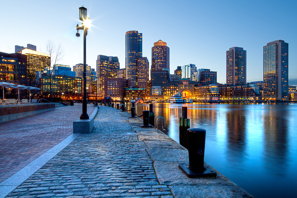
Photo by Shutterstock http://shutr.bz/1r4gPUB
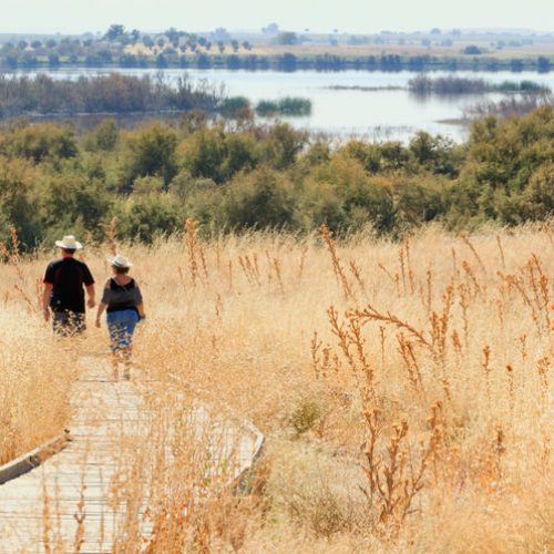
When you’re walking in a city, a detour of a single block can change your experience completely: One minute you’re walking along a crowded artery, the next you’re on a quiet residential street. If you walk a lot, you probably develop favorite routes, a way of getting from your home to the grocery store that takes you down an attractive block of houses or by a lively park, or that circumvents an abandoned factory.
But then there are those times that you’re walking somewhere unfamiliar: to a new destination, or in a new neighborhood or city. Now which path do you take? You can look on a map or plot it on your smartphone, and that will show you the most direct way from point A to point B. But, short of Google Streetview-ing the entire route, a map will give you no information about whether the walk will actually be pleasant. Does the larger avenue take you past monuments or buses? Does the smaller road mean lovely gardens or garbage and rats? It’s impossible to tell.
To a trio of software engineers, this was a problem to be solved. What if you could develop an app that would tell people walking in a city, even people completely new to the place, the most beautiful way to get where they wanted to go?
The idea sounds almost ridiculous at first. Beautiful city walks are like secrets, the kind of thing you only learn through experience. Mapping algorithms can chew on distance and time, but they don’t inherently distinguish between a shabby block and pretty one. Still, that’s not to say you can’t teach them to do so.
The engineers—Daniele Quercia and Luca Maria Aiello, who work at Yahoo, and Rossano Schifanella of the University of Torino in Italy—started in London. They showed thousands of people pairs of pictures of London streets, and asked them to choose which picture looked quieter, more peaceful, or more beautiful. That gave them a baseline to work with, a way of knowing how real human beings evaluate urban aesthetics.
Then they turned things over to a computer. They programmed an algorithm to crawl through Flickr, the photosharing website that’s home to billions of images, many of which happen to be snapshots taken in cities. Many Flickr photos contain two kinds of information that were especially helpful for the engineers’ purposes: First, they have geo-tags, which tell you exactly where the photos were taken; second, they have tags and comments which describe what you’re looking at. A photo taken on an idyllic side street in the Back Bay might contain a tag like “Quiet Boston,” or a comment from a friend like, “So gorgeous!!!”—notes that an algorithm can interpret as a recommendation to route people that way.
The engineers created a program that analyzed these tags and comments and gave each image a “beauty score,” with positive points for words like “happy” and “good,” and negative points for words like “afraid” and “disgusting.” Then they fed that data into their mapping algorithm, which generated walking routes that led people toward “prettier” blocks and away from “uglier” ones, while also balancing the need to keep directions relatively efficient. On average, the most beautiful walking routes are 12 percent longer than the fastest routes.
After London, the engineers moved on to Boston. They used Flickr-generated data to compute the most beautiful route between Back Bay Station and South Station, which detoured around trafficky Stuart Street and through the Boston Public Garden. They asked 54 people to evaluate whether the algorithm had made a good choice. Most people agreed it had. From there, they created routes between notable places in Boston and Cambridge, including the ones you can see in the maps below. Each map shows two routes—the fastest one and the most beautiful one. The interest lies in where they diverge. The fastest path from the Financial District to the Museum of Science is to bomb down Congress Street; with a little more time on your hands, though, you can enjoy a more pleasing walk with detours down Tremont Street and through the West End.
Algorithms are only as strong as the data behind them, and there are clear limitations to using Flickr as your arbiter of the most beautiful paths to travel. The real hidden paths in a city—the gems you know about but few others do—will never show up on the map (which may be a good thing!), and the algorithm tends to fixate on the most obvious beautiful choices, like the Public Garden.
Still, while most apps try to make our lives more efficient, it’s nice to encounter one that encourages you to go a little out of your way, in search of a less tangible kind of pleasure.
Source: Boston Globe
August 10, 2014
By: Kevin Hartnett